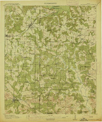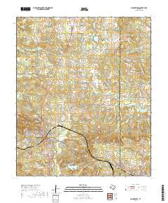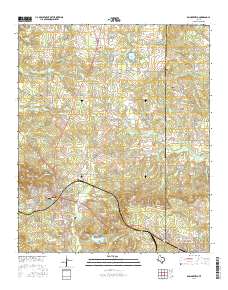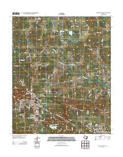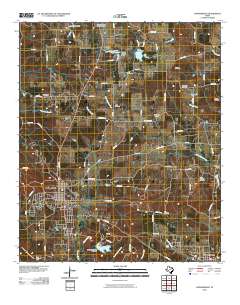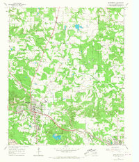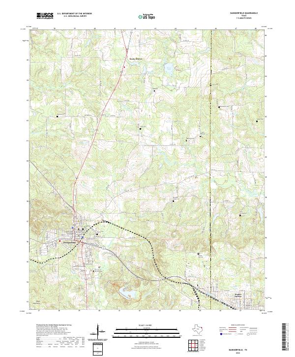
A scanned edition from the USGS Historical Topographic Map Collection, preserving an earlier published map of this area. Its cataloged boundary covers 33.0000° N to 33.2500° N and 94.7500° W to 94.5000° W.
Map area
Daingerfield
State
Texas (TX)
Edition year
1914
Scale
Scale 1:62,500
USGS collection
Historical Topographic Map Collection
Edition status
Archived USGS edition
Geographic coverage
North edge
33.2500° N
South edge
33.0000° N
West edge
94.7500° W
East edge
94.5000° W
Approximate center
33.1250° N, 94.6250° W
Current geographic context
OpenStreetMap topographic view of this area
The live map loads only when this section approaches the viewport.