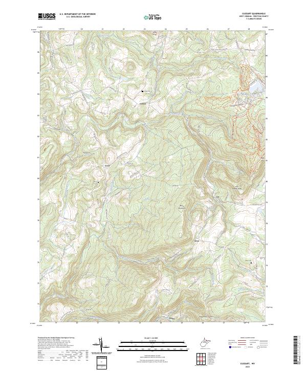
US Topo
2023 edition
Scale 1:24,000 · Current
Quadrangle archive
10 available scans
Bare-earth terrain
Compare USGS aerial imagery with Mapterhorn's elevation-based hillshade. Available LiDAR detail varies by location.
Location appears on both maps when you allow it.
LiDAR terrain loads as this section approaches the screen.
Terrain: Mapterhorn. Aerial imagery: USGS National Map.
Geographic overview
The OpenStreetMap overview loads as this section approaches the viewport.
USGS archive
Scale 1:24,000 · Current
Scale 1:24,000
Scale 1:24,000
Scale 1:24,000
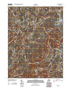
Scale 1:24,000
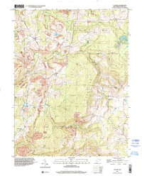
Scale 1:24,000
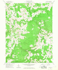
Scale 1:24,000
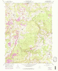
Scale 1:24,000
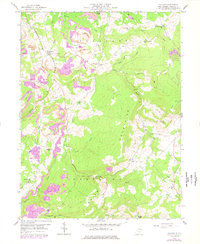
Scale 1:24,000
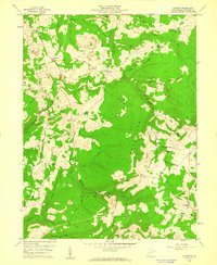
Scale 1:24,000